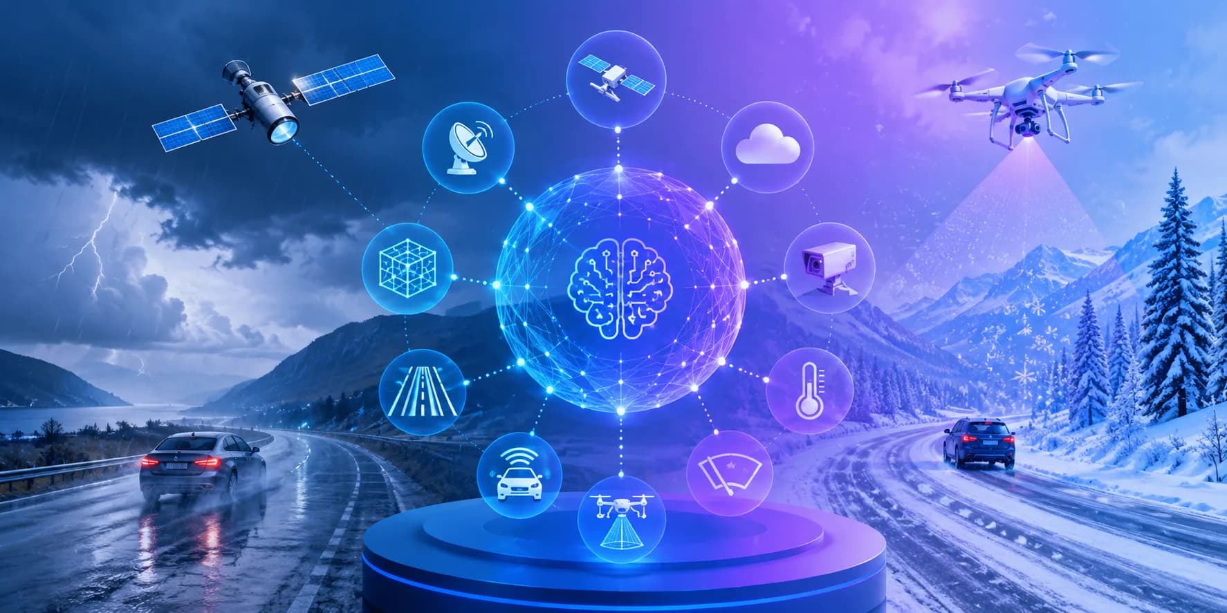
Discover the top 10 AI technologies used to detect weather and road conditions, how each one works, real accuracy data, and how to choose the right stack.
Top 10 AI Technologies Used to Detect Weather and Road Conditions
Road weather is the most underrated safety variable in transportation. A stretch of pavement that reads 34 degrees Fahrenheit on a thermometer can still be coated in black ice, and a forecast that says "light rain" tells a truck dispatcher nothing about whether lane three of a specific bridge has lost traction. This gap between general weather data and road-level reality is exactly where artificial intelligence has become genuinely useful, not as a buzzword, but as a set of measurable detection systems now deployed by highway agencies, fleets, and vehicle manufacturers.
This guide breaks down the ten AI technologies actually doing that work, what each one detects, where each one fails, and how they combine into a single reliable picture of the road ahead.
Quick Answer: The top AI technologies for detecting weather and road conditions are computer vision, deep learning forecast models, lidar and radar perception, edge-AI roadside sensor networks, satellite remote sensing, connected vehicle telematics, thermal imaging, radar nowcasting, digital twins, and multimodal sensor fusion. Most real systems combine several rather than relying on one.
Why Road Condition Detection Needs AI at All
Traditional weather forecasting answers a regional question. Road safety demands a hyperlocal one. According to the U.S. Department of Transportation, roughly 21 percent of the nearly 5.9 million annual vehicle crashes in the United States are weather related, accounting for about 1.2 million crashes and close to 5,000 deaths each year. The majority happen on wet pavement, not during dramatic storms, which means the decisive variable is surface state rather than sky state.
Surface state changes across distances of a few hundred meters. Shaded valleys, bridge decks, tunnel exits, and elevation shifts all create microclimates that no regional forecast grid can resolve. AI matters here because it can learn the relationship between thousands of noisy, cheap, imperfect signals and the one thing operators care about: is this specific segment safe right now, and what will it look like in two hours?
Key Terms Defined
- Road Weather Information System (RWIS): A network of fixed roadside stations measuring air temperature, pavement temperature, wind, humidity, and precipitation.
- Nowcasting: Very short-range prediction, typically zero to six hours ahead, where physics-based models are weakest and AI pattern recognition is strongest.
- Sensor fusion: Combining several independent data sources into one estimate that is more reliable than any single input.
- Friction estimate: A modeled coefficient describing how much grip a tire can expect on a given surface.
Top 10 AI Technologies Used to Detect Weather and Road Conditions
1. Computer Vision for Road Surface Classification
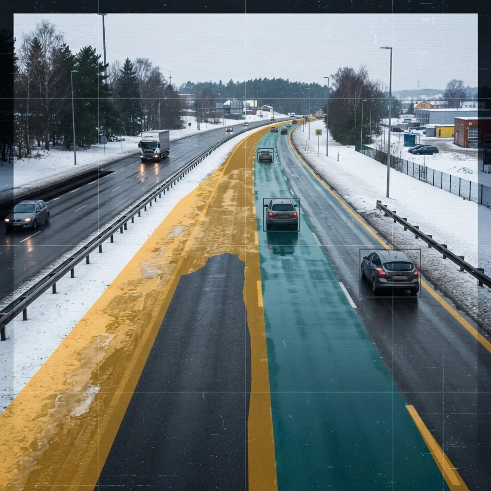
Convolutional neural networks and vision transformers analyze frames from roadside CCTV, dashcams, and vehicle-mounted cameras to classify pavement as dry, wet, slushy, snow-covered, or icy. Modern implementations use semantic segmentation, meaning the model labels every pixel rather than the whole image, so it can flag that only the outer lane is compromised.
The practical advantage is infrastructure reuse. Highway agencies already operate tens of thousands of traffic cameras, so a vision model turns existing hardware into a road weather sensor with no new field installation. The limitation is honest: heavy glare, night conditions without illumination, and lens contamination degrade accuracy, which is why vision is almost never used alone.
2. Deep Learning Weather Prediction Models
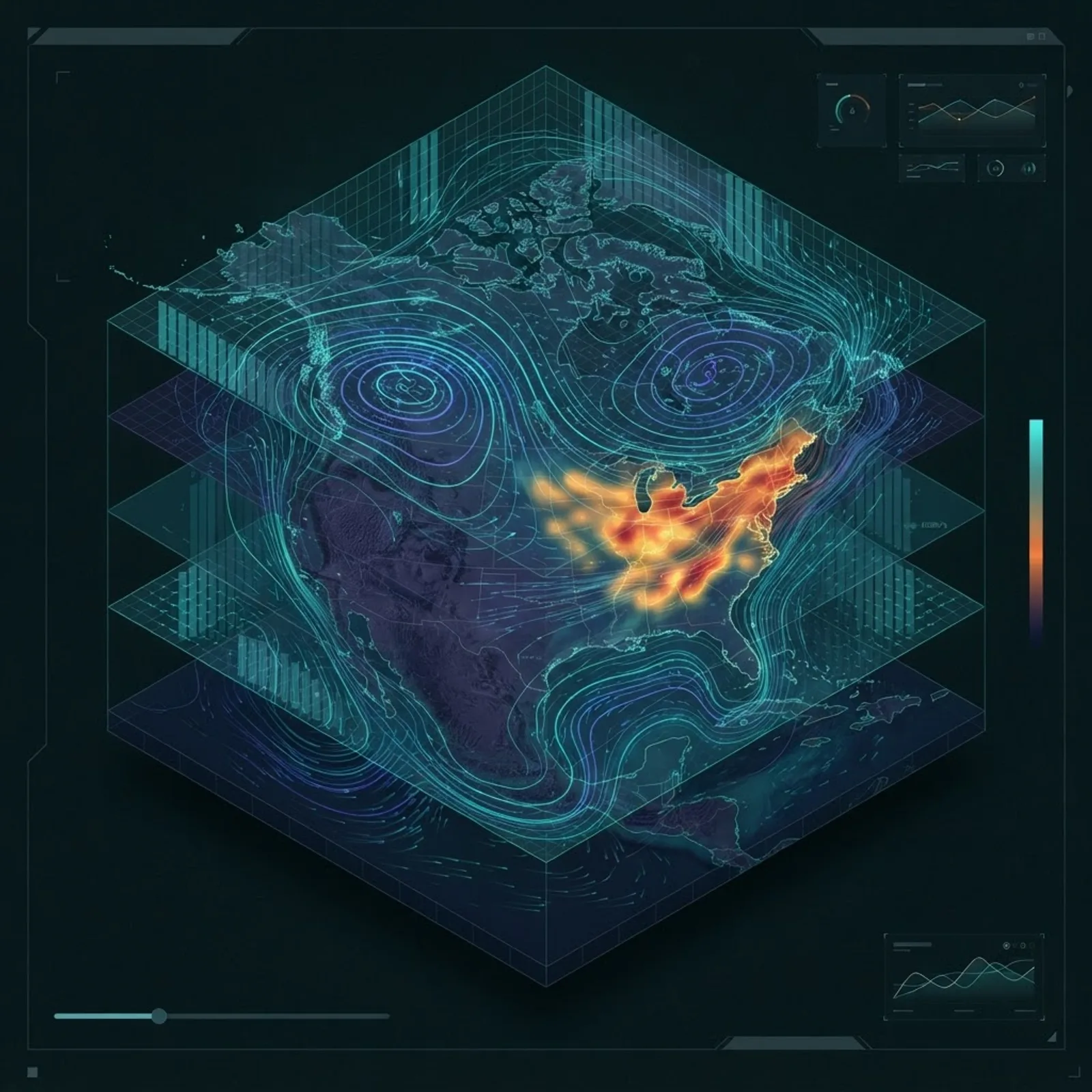
Data-driven forecast models learn atmospheric dynamics directly from decades of reanalysis data instead of solving physics equations at runtime. Google DeepMind reported that its GraphCast model outperformed the leading operational deterministic system on around 90 percent of 1,380 verification targets while producing a ten-day global forecast in under a minute on a single machine.
That speed change is the real story. When a forecast costs seconds instead of supercomputer hours, an agency can run hundreds of scenario variations and generate probability distributions for a single interchange rather than a single answer for a whole state.
3. Lidar and Radar Perception
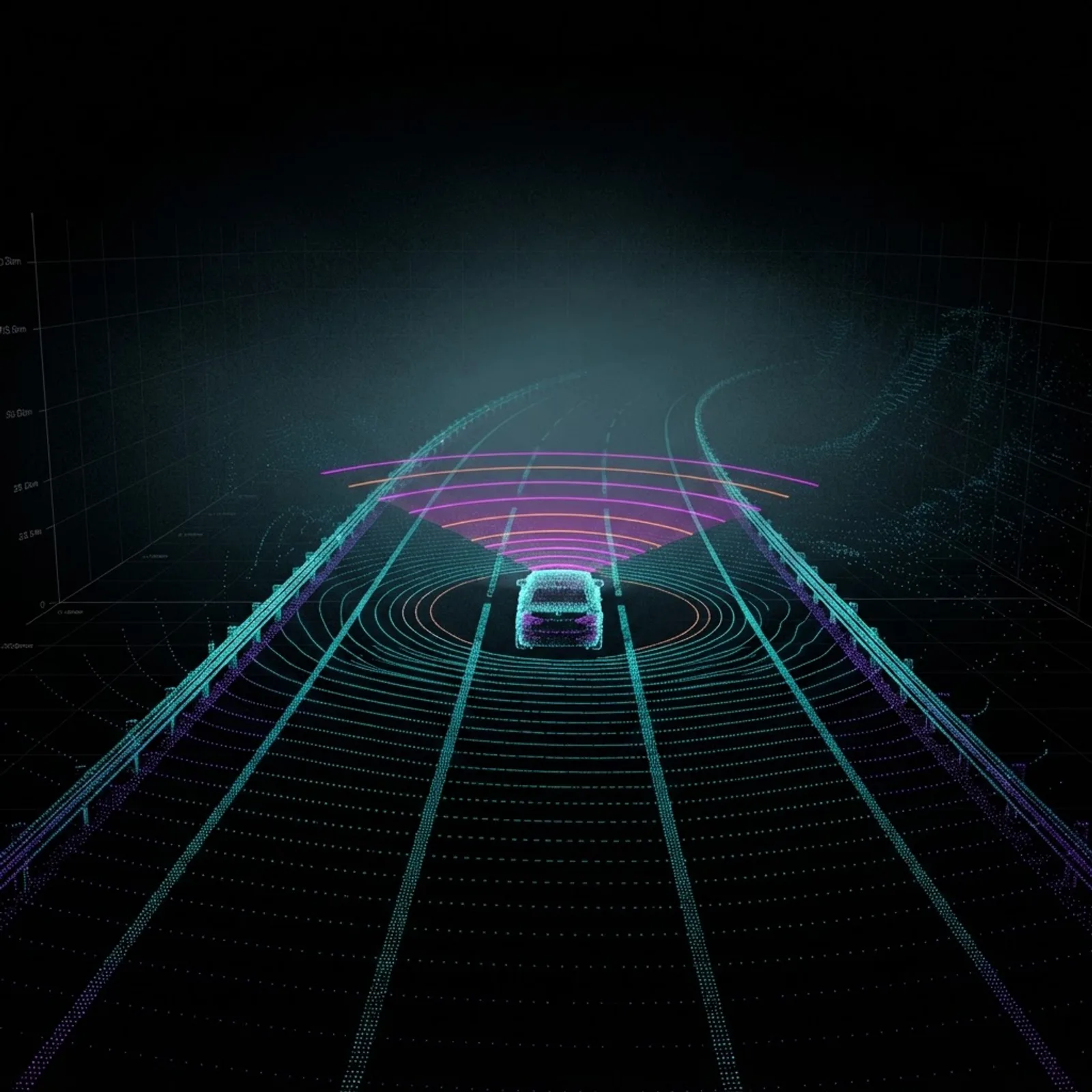
Lidar measures distance with pulsed light and produces a dense three-dimensional point cloud. AI models interpret the intensity and scatter of returns to infer surface wetness, standing water, and snow accumulation depth, while automotive radar penetrates fog, spray, and heavy rain where cameras lose confidence.
The AI contribution is classification of degraded returns. Rain and fog create noise that looks like phantom objects, so neural networks are trained specifically to distinguish weather-induced clutter from real obstacles. This is the technology layer that keeps advanced driver assistance systems from braking at a cloud of mist.
4. Edge AI on IoT Roadside Sensor Networks
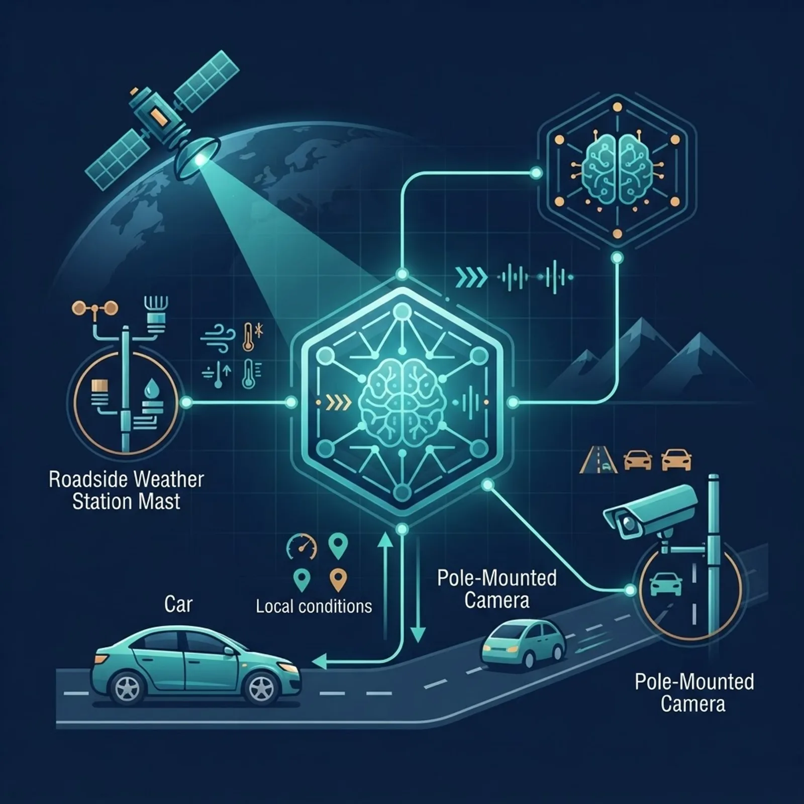
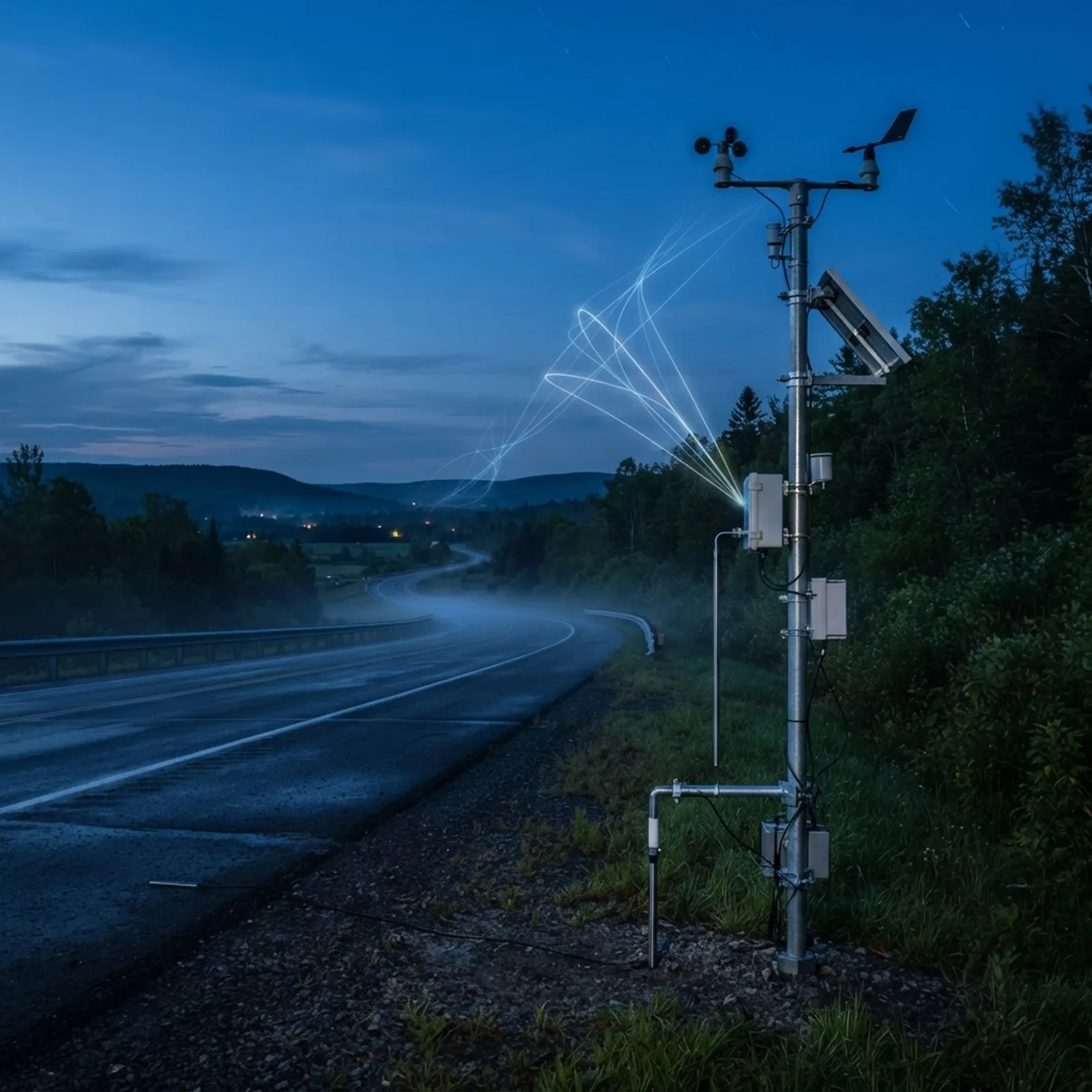
Roadside stations now run inference locally on low-power hardware rather than shipping every reading to a central server. Non-invasive infrared pavement sensors, anemometers, and humidity probes feed a small model that outputs a road state directly at the pole.
Edge processing solves three real constraints: rural bandwidth is limited, latency matters when a frost warning must reach a plow driver in seconds, and transmitting only classified events instead of raw streams dramatically reduces cellular cost. Teams building this kind of distributed intelligence often pair it with production monitoring pipelines, and if you need help designing that architecture, the engineers at ZoneTechify work on exactly this class of sensor-to-decision system.
5. Satellite Remote Sensing with Neural Networks
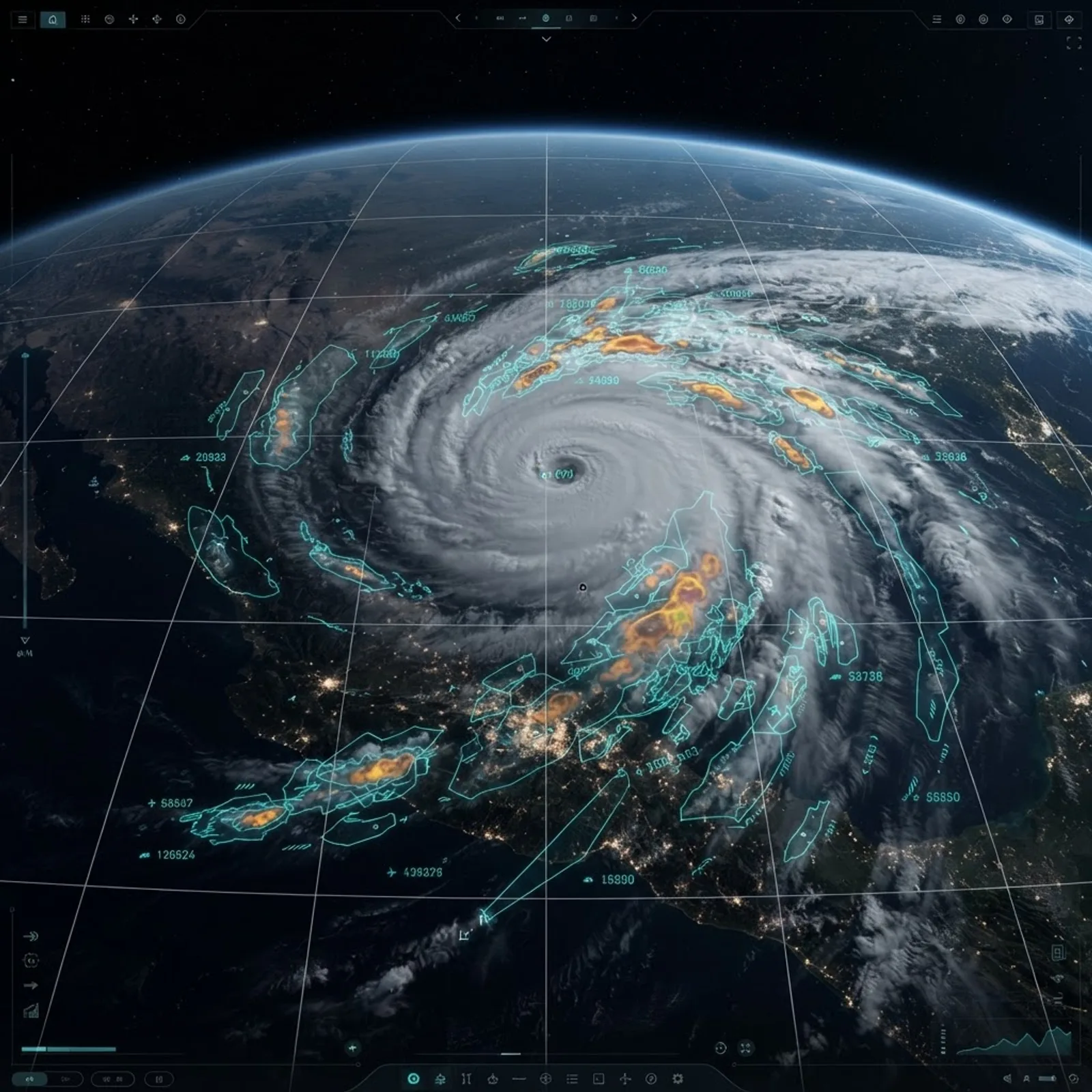
Geostationary satellites deliver full-disk imagery every few minutes across visible and infrared bands. AI models detect cloud-top cooling rates, identify rapidly intensifying convection, and estimate rainfall where ground radar coverage does not exist.
For road applications, satellite AI answers the regional question that local sensors cannot: what is arriving, from which direction, and how fast. It is the early-warning layer that gives maintenance crews lead time to pre-treat pavement before precipitation begins.
6. Connected Vehicle Telematics and Crowdsourcing
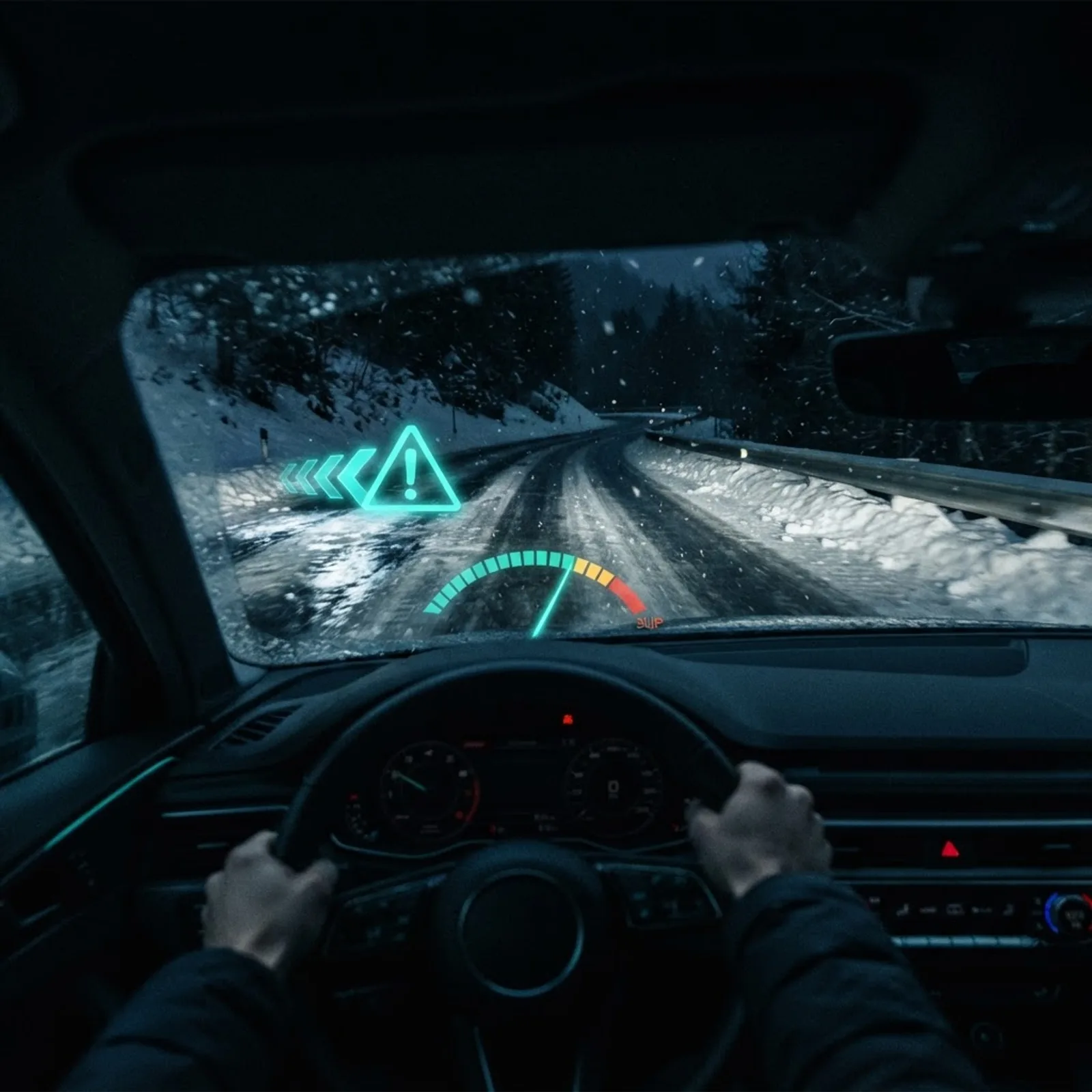
Every modern vehicle is already a moving weather station. Wiper activation frequency, anti-lock brake and traction control engagement, ambient temperature readings, external light sensors, and wheel slip events are all transmitted through telematics platforms.
Machine learning aggregates these weak individual signals into strong collective evidence. Ten vehicles triggering traction control within the same 200-meter segment in five minutes is a far more reliable ice indicator than any forecast. The value scales with fleet density, which is why logistics operators and insurers have become significant contributors to road weather data.
7. Thermal and Infrared Imaging AI
Thermal cameras and infrared thermometers measure pavement temperature without contact, and AI models learn the thermal signature difference between wet asphalt and ice, which looks nearly identical to a standard camera. Mobile thermal mapping, where an instrumented vehicle drives a route to build a temperature profile, lets models predict which specific segments freeze first.
This is the most direct answer to the black ice problem, because it detects the condition that visible-light sensing physically cannot see.
8. Radar Nowcasting with Generative Models
Generative deep learning models extrapolate the next 30 to 90 minutes of precipitation from sequences of radar frames. Published evaluations of generative nowcasting have shown meteorologists preferring AI-generated forecasts over established methods in the large majority of blind comparisons, particularly for heavy rainfall events.
Nowcasting is the highest-value window for road operations. Decisions about closing a mountain pass, dispatching salt trucks, or rerouting freight all happen inside that one-hour horizon.
9. Digital Twins for Road Weather Simulation
A digital twin is a continuously updated virtual replica of a road network that includes geometry, materials, drainage, shading, and traffic load. AI models run inside the twin to simulate how a given weather input will affect each segment, factoring in that a concrete bridge deck loses heat faster than surrounding asphalt.
This moves operations from reactive to predictive. Instead of detecting ice after it forms, the twin identifies the eleven segments most likely to freeze tonight and prioritizes treatment accordingly.
10. Multimodal Sensor Fusion with Transformers
The final and most important layer combines everything above. Transformer-based fusion models take camera, radar, lidar, satellite, roadside, and vehicle inputs and produce one confidence-scored road state, learning which source to trust in which situation.
Fusion models learn, for example, to discount camera input at night and weight radar and thermal data more heavily. This is why production systems consistently outperform any single-sensor approach, and it is the architecture pattern behind most credible commercial deployments today.
Comparison of the Main Detection Technologies
| Technology | Primary Detection Target | Range | Weather Robustness | Relative Cost |
|---|---|---|---|---|
| Computer vision | Surface state and lane-level wetness | Short | Moderate | Low |
| Deep learning forecasting | Atmospheric conditions hours to days ahead | Global | High | Moderate |
| Lidar | Standing water, snow depth, obstacles | Short | Low to moderate | High |
| Radar and nowcasting | Precipitation type and intensity | Medium to long | High | Moderate |
| Roadside edge AI | Pavement temperature and frost risk | Point specific | High | Moderate |
| Satellite remote sensing | Incoming systems and rainfall estimates | Regional | High | Low per user |
| Vehicle telematics | Real traction and grip events | Network wide | High | Very low |
| Thermal imaging | Ice versus water discrimination | Short | High | Moderate |
| Sensor fusion | Unified confidence-scored road state | All | Highest | Highest |
How to Choose the Right Detection Stack
- Define the decision, not the data. Plow dispatch, variable speed limits, insurance risk scoring, and autonomous navigation each need different latency and precision. Start from the action.
- Audit existing assets first. Traffic cameras and telematics feeds usually already exist, so vision and crowdsourced models deliver the fastest return with no new hardware.
- Add thermal where freezing is the failure mode. In cold climates, pavement temperature sensing produces more safety value per dollar than any additional camera.
- Treat nowcasting as the operational core. Most road decisions live inside a 60-minute window.
- Build fusion from the start. Retrofitting a single-source system into a multimodal one is significantly harder than designing for fusion on day one.
- Validate against ground truth continuously. Models drift as sensors age and road materials change, so scheduled recalibration is not optional.
Organizations without in-house machine learning capacity typically start with a managed pilot on one corridor, which is a common entry point for teams evaluating AI automation services before committing to network-wide rollout.
Common Mistakes Teams Make
The most frequent error is confusing air temperature with pavement temperature. Pavement can sit several degrees below air temperature under clear night skies, which is precisely when frost forms on an apparently safe road.
The second is training on unbalanced data. Ice and heavy snow are rare events, so a model trained on a full year of footage will be overwhelmingly accurate on dry pavement and unreliable on the conditions that actually cause crashes. Deliberate oversampling of rare events is essential.
The third is ignoring sensor degradation. A camera with a salt-crusted lens or a probe buried under gravel will still return data, just wrong data, and a model without confidence scoring will pass that error straight into an operational decision.
Key Takeaways
- About 21 percent of U.S. crashes are weather related, roughly 1.2 million per year, and most occur on wet rather than snowy pavement.
- Data-driven forecast models such as GraphCast have outperformed leading physics-based deterministic systems on around 90 percent of tested verification targets while running in under a minute.
- Vision-based road surface classification is the cheapest entry point because it reuses existing traffic camera infrastructure.
- Thermal and infrared sensing is the only reliable way to distinguish black ice from ordinary wet pavement.
- Vehicle telematics turns traction control and wiper events into the densest available road condition dataset.
- Multimodal sensor fusion consistently outperforms every single-sensor method and should be the target architecture.
Frequently Asked Questions (FAQ)
How does AI detect black ice on roads?
AI detects black ice by combining infrared pavement temperature readings, thermal camera imagery, and vehicle traction control events. Because ice and wet asphalt look nearly identical to visible-light cameras, temperature data is the deciding input. Fusion models flag segments where sub-freezing pavement and recent moisture occur together.
Is AI more accurate than traditional weather forecasting?
For short-range prediction and hyperlocal conditions, AI models now match or exceed traditional numerical weather prediction while running far faster. For long-range and unusual extreme events, physics-based models remain important. Most operational systems today blend both approaches rather than replacing one with the other.
What sensors do self-driving cars use to detect bad weather?
Self-driving vehicles use cameras, radar, lidar, ultrasonic sensors, wheel-speed and traction data, and rain sensors. Radar performs best in fog and heavy rain, cameras handle surface classification, and lidar measures standing water and snow. Fusion software decides which sensor to trust in each condition.
Can AI predict road conditions before weather actually arrives?
Yes. Digital twin models combine incoming forecast data with road-specific attributes such as material, shading, drainage, and elevation to predict which segments will freeze or flood first. This lets maintenance crews pre-treat pavement hours before precipitation begins, which is far more effective than reacting afterward.
How much data do these AI road weather systems need?
Useful models typically require at least one to two full seasonal cycles of labeled data so they learn rare ice and snow events, not just dry conditions. Teams shortcut this by combining historical reanalysis data, transfer learning from similar climates, and deliberate oversampling of hazardous conditions.
Are AI road condition systems expensive to deploy?
Costs vary widely. Vision models on existing traffic cameras and telematics-based crowdsourcing are inexpensive because the hardware already exists. Lidar arrays and dense roadside sensor networks are capital intensive. Most agencies begin with software-only layers on current infrastructure, then expand where safety data justifies it.
Final Thoughts
The genuine advance in road weather detection is not any single algorithm. It is the shift from asking what the weather is doing to asking what this specific 200 meters of pavement is doing right now and what it will do next. Every technology on this list contributes one partial view, and the systems that work in practice are the ones honest enough to acknowledge each sensor's blind spot and design around it. If you are evaluating where to start, choose the decision you most need to improve, instrument that decision with the cheapest reliable signal available, and only then expand the stack.